Parcel of Land
Real Estate Photography Pricing
|
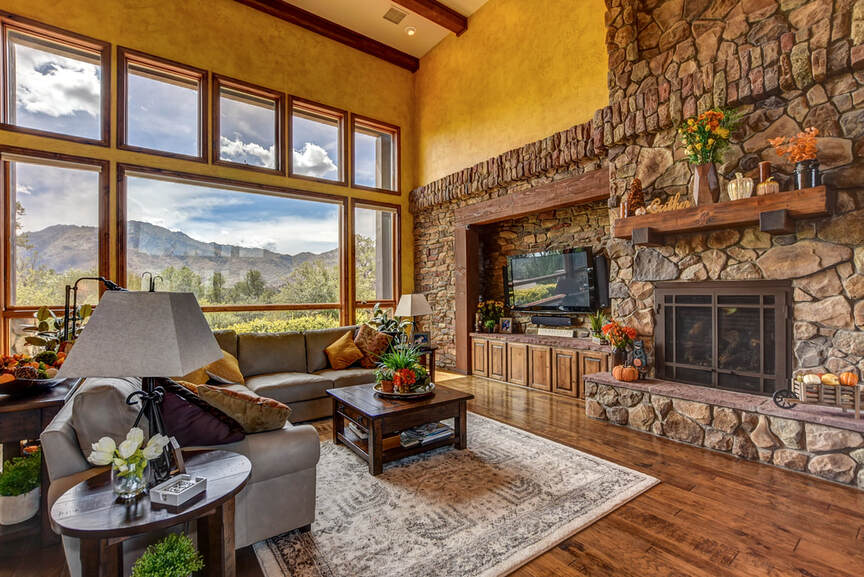
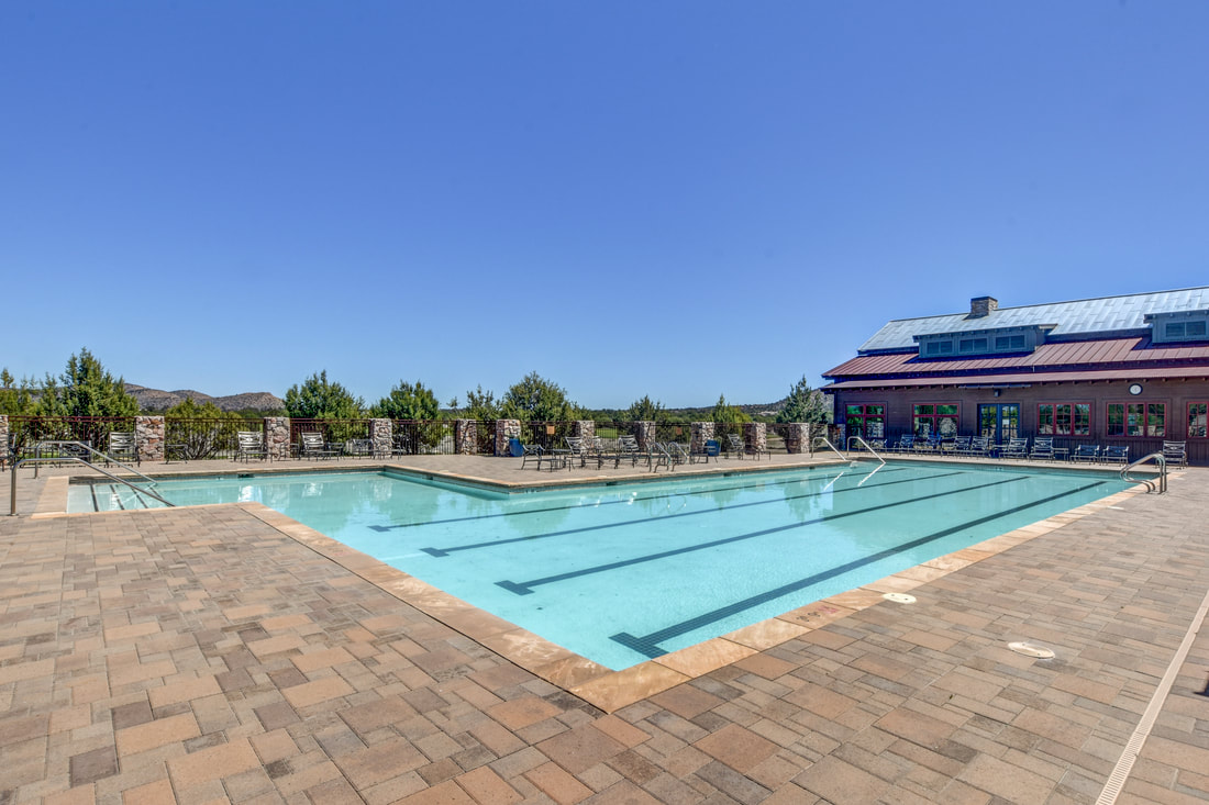
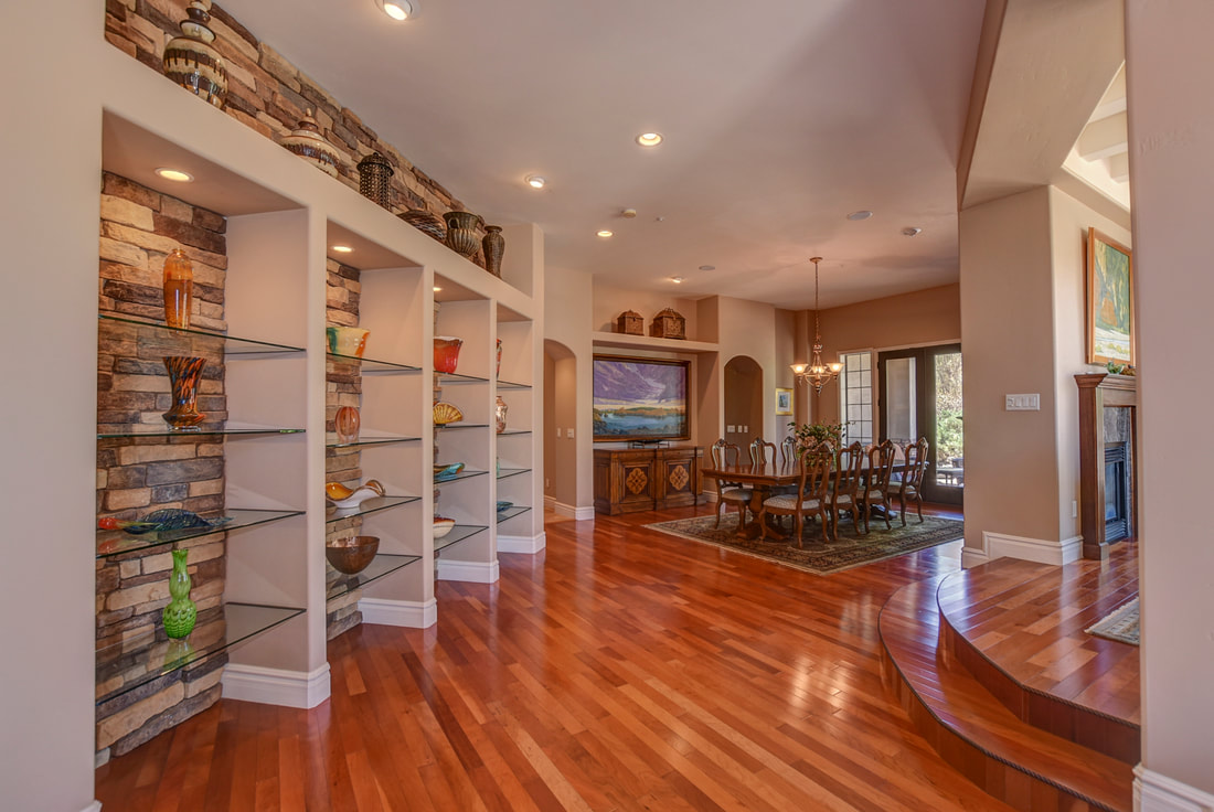
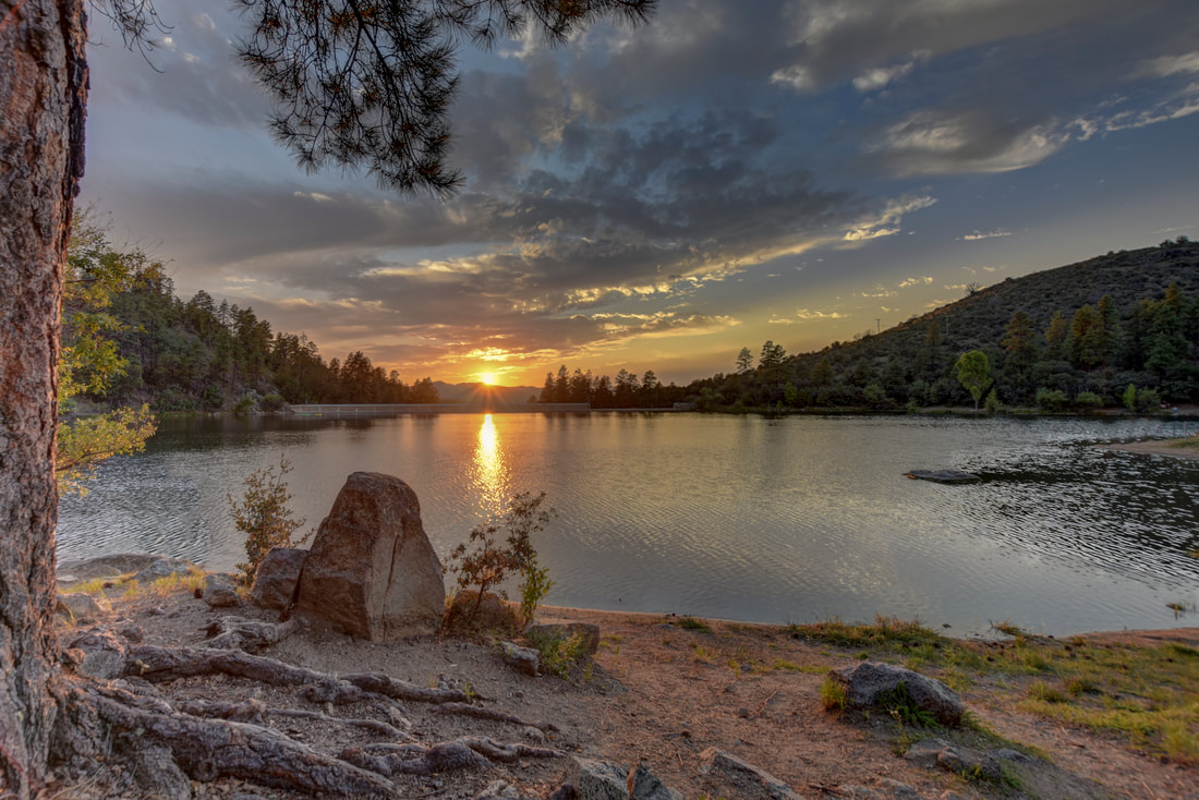
The best way to show off the appeal of a lot is with photographs of the land and it's amazing views. Including aerial images can help capture and enhance the beauty of your parcel.
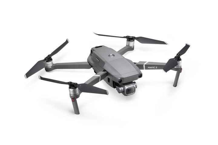
We are an FAA Licensed Drone (sUAS) pilot and have flown thousands of hours learning how to capture the best angles of your property.
|
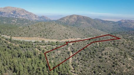
Drone Photograph
|
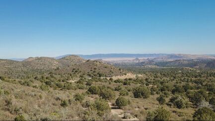
Parcel Photograph
|
Parcel of Land Photography
|
Drone Photographs Aerial images with the border drawn onto the photograph
|
Parcel Photographs Photographs of the lot and it's views
|
Both Drone & Parcel Photographs Aerial images & photographs of the lot and it's views
|
*An extra driving fee will be charged for properties outside a 30 minute drive from downtown Prescott.
*Aerial photographs subject to FAA regulations
Add a Aerial Showcase Video to your Land Listing
-starting at $180
*price's vary for larger listings or more involved video work
*price's vary for larger listings or more involved video work
Additional Options for your Parcel Listing
Virtual Tour Provider (ask for info) |
Schedule a photography session by contacting Sunshine at
928-273-9564 or [email protected]

|
|

|
Serving Prescott, Prescott Valley, Dewey, Chino Valley, Paulden, Mayer, Cortes Junction, Clarkdale, Camp Verde, Cottonwood, Walker, Wilhoit, Kirkland, Skull Valley, Sedona and the surrounding area in Arizona.
Copyright © 2021