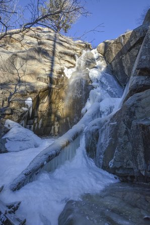
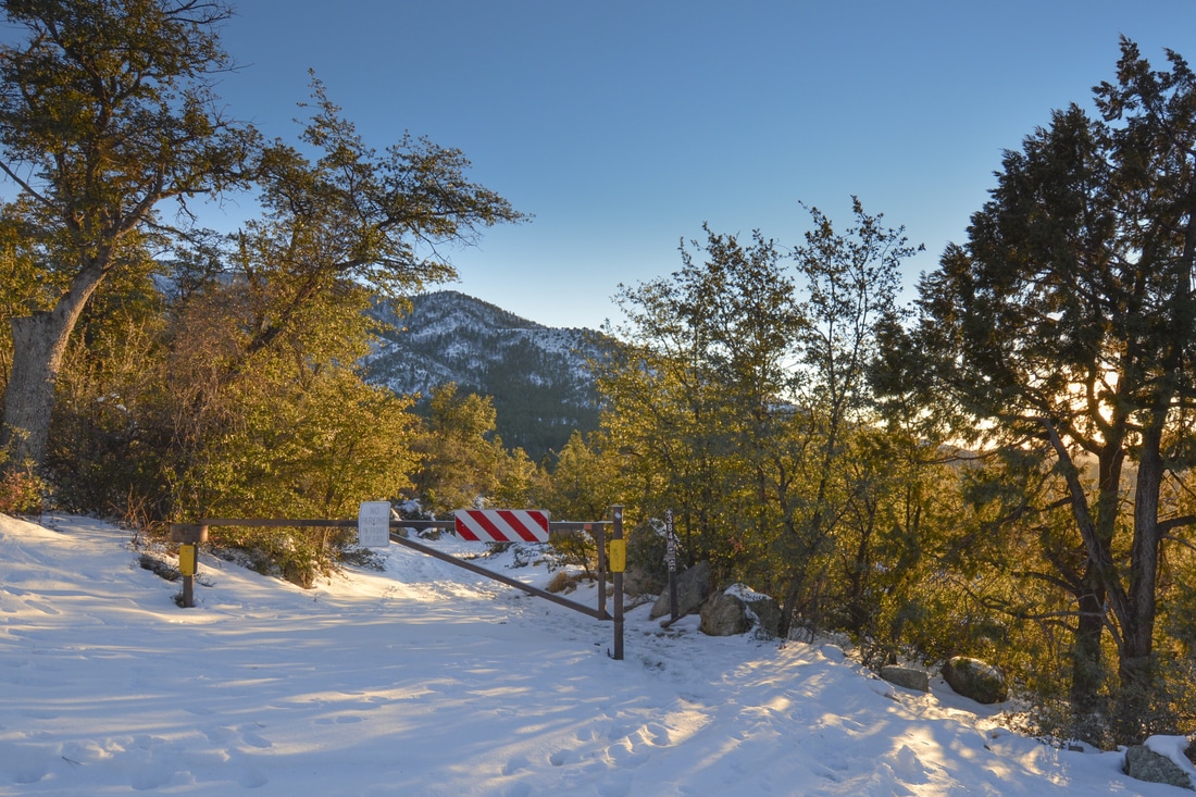
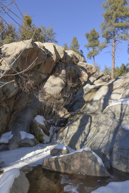
Mile High Photos - Real Estate Marketing Photography
  • Real Estate Photography
    • Residential & Commercial Photography
    • Aerial Drone Photography
    • Parcel of Land Photography
    • Virtual Tours
    • HOA & Community Photographs
    • Prescott Stock Images
    • Prepping for Photography
  • 360 Tours
    • Zillow 360 Tour
    • Matterport Tour
  • Video Tours
    • Social Media Videos
    • Showcase Videos
    • Walk Through Videos
  • Virtual Staging & More
    • Virtual Staging
    • Virtual Twilight
    • Image Enhancements
    • Item Removal & Virtual Renovations
  • Meet your Photographers
    • Contact
  • More...
    • Gallery >
      • What is HDR Photography?
    • Prepping for Photography
    • Standard License
    • Blog

Wolf Creek Falls

1/27/2017

1 Comment


Wolf Creek Falls

Wolf Creek falls is Prescott's tallest waterfall and just a short hike away. This seasonal creak may be covered in ice in the winter but provides great swimming holes in the heat of the summer during monsoon season. 
Picture
Wolf Creek Falls - the larger falls
Picture
Trail Access - Trail 384
Picture
Wolf Creek Falls - the smaller falls

Directions

Take Senator Hwy past Groom Creek untill the road turns to dirt. Just past the YMCA camp on your right, turn right onto Wolf Creek Rd towards Wolf Creek Campground. Pass the campground and continue to the trail sign 384. The trail crosses Wolf Creek Rd and there is a sign on both sides of the road. The trail to Wolf Creek Falls is the one on the left that hikes down into the gorge. You may need to drive a bit farther or turn around to find a good place to park. There is not a designated parking area. 

Hiking Directions

Hike distance - 0.5 miles or 1 mile roundtrip
From the access trail, hike about 0.3 miles slightly downhill until you reach Wolf Creek. To hike the easiest trail, cross the creek and take the first trail to your right. This trail parallels the creek. Within a few minutes you will see the first and smaller set of falls on your right (see photo). Many braided trails access these falls. If you continue a little further you can access the larger set of falls, seen in the photo above. The trail to these falls are a little steeper and many take a bit of scrambling around on tree roots and boulders. If you continue to scramble past these two sets of falls, before long Wolf Creek empties into Hassayampa Creek. 

Happy Trails!

1 Comment
Jeff
1/30/2017 09:44:40 am

Very nice, but won'the the trails be crowded now?

Reply


Leave a Reply.

    Author

    Sunshine Hebert
    Photographing Real Estate and Local Events in Prescott, Az

    Archives

    September 2018
    June 2018
    February 2018
    May 2017
    April 2017
    January 2017
    October 2016
    September 2016
    August 2016
    May 2016
    March 2016

    Categories

    All

    RSS Feed

Prepping for Photography
Picture
Our License Agreement

Schedule a photography session by contacting Sunshine at
928-273-9564 or AzMileHighPhotos@gmail.com

Mile High Photos
Sunshine Hebert
928-273-9564
AzMileHighPhotos@gmail.com
Picture
Picture
Instagram

Serving Prescott, Prescott Valley, Dewey, Chino Valley, Paulden, Mayer, Cortes Junction, Clarkdale, Camp Verde, Cottonwood, Walker, Wilhoit, Kirkland, Skull Valley, Sedona and the surrounding area in Arizona.

Copyright © 2021
  • Real Estate Photography
    • Residential & Commercial Photography
    • Aerial Drone Photography
    • Parcel of Land Photography
    • Virtual Tours
    • HOA & Community Photographs
    • Prescott Stock Images
    • Prepping for Photography
  • 360 Tours
    • Zillow 360 Tour
    • Matterport Tour
  • Video Tours
    • Social Media Videos
    • Showcase Videos
    • Walk Through Videos
  • Virtual Staging & More
    • Virtual Staging
    • Virtual Twilight
    • Image Enhancements
    • Item Removal & Virtual Renovations
  • Meet your Photographers
    • Contact
  • More...
    • Gallery >
      • What is HDR Photography?
    • Prepping for Photography
    • Standard License
    • Blog